






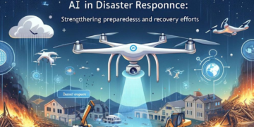


















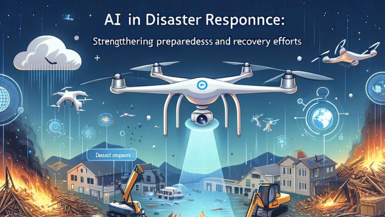
Artificial intelligence is becoming part of India’s disaster-management systems as cities face floods, heatwaves, cyclones and other extreme-weather risks. From AI-based forecasting to digital twins and real-time warning platforms, Indian authorities are increasingly using technology to improve preparedness and emergency response.
India Moves From Disaster Response to Risk Prediction
AI in disaster management is increasingly being used to identify risks before they become emergencies. The shift is important for Indian cities, where rapid urbanisation, changing rainfall patterns and pressure on drainage and transport systems can make extreme weather more disruptive.
The Union government said in March 2026 that India is using AI and machine learning across the disaster-management cycle, including preparedness, response, mitigation and recovery. The government has also highlighted the role of the Disaster Management Amendment Act, 2025, which provides for a National Disaster Database containing risk assessments, mitigation plans and real-time disaster information.
For cities, the objective is not to replace emergency workers with AI. Instead, the technology can help authorities process large amounts of weather, satellite, river and infrastructure data faster and identify areas that may require attention.
AI Weather Forecasting Gets a Bigger Role
Weather forecasting is one of the most important areas where AI is being integrated into disaster preparedness.
The Ministry of Earth Sciences said in August 2026 that the National Centre for Medium Range Weather Forecasting is integrating AI and machine learning forecast guidance with conventional numerical weather prediction, data assimilation, Earth-system modelling and high-performance computing. The India Meteorological Department is using this guidance to improve forecasting across different spatial and time scales.
Under Mission Mausam, the Indian Institute of Tropical Meteorology in Pune has also established an AI and ML centre focused on developing technology for improved weather prediction, disaster preparedness and the dissemination of weather information in regional languages.
This matters for cities because a weather warning is more useful when it can be translated into a local risk. For example, heavy rainfall information can be combined with location-specific data to identify areas where flooding or waterlogging could become a problem.
Flood Forecasting and Urban Waterlogging
Flood management is another major area where AI is being tested and deployed.
The Central Water Commission has been developing AI and machine-learning models for short-range flood forecasting. These systems are intended to support flood forecasts at identified stations, with CWC currently issuing short-range forecasts with lead times of up to 24 hours.
The government has also said that IMD and CWC are using AI and ML models to assess rainfall and likely flood conditions. Alerts are then passed to state and district authorities through emergency operation centres, while public warnings can be distributed through systems such as the Sachet app, SMS-based Common Alerting Protocol and cell broadcasting.
For Tier-2 and Tier-3 cities, this type of forecasting can be particularly relevant. A flood does not have to be a major river disaster to cause disruption. Intense rainfall can overwhelm drains, block roads, affect markets and interrupt public transport within a short period.
Seven Cities Get Urban Flood Risk Funding
Technology is being introduced alongside physical infrastructure improvements.
In August 2026, the Union government approved Phase I of the Urban Flood Risk Management Programme for Ahmedabad, Bengaluru, Chennai, Hyderabad, Kolkata, Mumbai and Pune, with a total financial outlay of ₹3,075.65 crore. Phase II covers another 11 cities, including Bhopal, Bhubaneswar, Guwahati, Jaipur, Kanpur, Patna, Raipur, Thiruvananthapuram, Visakhapatnam, Indore and Lucknow, with ₹2,444.42 crore approved.
The programme is significant because AI-based forecasting alone cannot prevent urban flooding. Cities also need functioning drainage networks, water channels, flood-control infrastructure, emergency communication systems and coordinated response mechanisms.
Recent developments in Bhubaneswar illustrate this broader approach. The state government has begun work on an action plan focused on urban flooding and heatwave risks, including improvements to storm-water drainage systems.
Mumbai, Bengaluru and Other Cities Face Different Risks
Indian cities do not face the same disaster profile, so AI systems need to account for local conditions.
Mumbai faces coastal flooding, heavy rainfall, storm surges and sea-level-related risks. Bengaluru frequently deals with intense rainfall, waterlogging and traffic disruption. Other cities may face heatwaves, river flooding, landslides or combinations of several hazards.
The recent focus on urban flood management reflects this difference. Mumbai, Pune, Bengaluru, Chennai, Hyderabad, Kolkata and Ahmedabad are among the cities covered by the first phase of the national urban flood-risk programme.
In Maharashtra, for example, recent rainfall patterns have varied significantly between districts, demonstrating why city-level and district-level forecasting matters rather than relying only on broad state-level warnings.
Digital Twins Could Help During Large Events
AI is also being considered for disaster preparedness during large public gatherings.
In Nashik, authorities are planning an AI-powered digital twin for the 2027 Simhastha Kumbh Mela. The proposed system would combine GIS-based 2D and 3D maps, real-time operational data, surveillance feeds and AI analytics to support crowd management, mobility planning, emergency response and disaster preparedness.
A digital twin essentially creates a digital representation of a real-world environment. Authorities can use such a system to examine different scenarios and understand how changes in crowd movement, traffic or emergency conditions could affect the wider area.
For a large event, this could help different departments work from the same information instead of operating with separate datasets.
Kerala Explores AI-Based Flood Management
Kerala is also examining advanced technology for flood resilience.
A scientific team involving IIT Roorkee, IIT Palakkad and IIIT Kottayam recommended the use of AI, machine learning, remote sensing, hydrodynamic modelling and high-precision rainfall forecasting to identify flood-prone areas and improve early warnings. The proposed approach covers risks including urban waterlogging, river floods, landslides and mudslides.
The development highlights an important point: AI works best when combined with physical science and local information. Rainfall forecasts, terrain data, drainage conditions and river levels all need to be considered when assessing disaster risk.
What AI Can and Cannot Do
AI can process large datasets quickly, identify patterns and assist officials in making decisions. It can support forecasting, risk mapping, warning systems, evacuation planning and emergency coordination.
But AI does not eliminate uncertainty.
Weather systems can change rapidly, sensors can have gaps, infrastructure data may not always be updated and a forecast cannot guarantee exactly where damage will occur. Human officials still need to interpret warnings and decide what action is appropriate.
That is why India’s emerging disaster-management model combines AI with conventional weather models, satellite observations, radar, ground sensors, river observations, emergency operation centres and local administration. The government’s proposed national AI-based early warning platform is designed around this combination of data sources rather than AI working independently.
What This Means for Smaller Indian Cities
The biggest impact of these developments may eventually be felt outside India’s largest metros.
Tier-2 and Tier-3 cities are expanding rapidly, often putting additional pressure on drainage, roads, water systems and emergency services. A technology system that can provide location-specific warnings can help local authorities identify vulnerable neighbourhoods before an extreme-weather event becomes a major emergency.
India’s disaster-management strategy is therefore moving towards a model where forecasting, infrastructure, communication and local response work together.
AI is becoming an important part of that system, but its effectiveness will ultimately depend on the quality of data, local preparedness, infrastructure and the ability of authorities to act on warnings quickly.
Key Takeaways
- India is integrating AI and machine learning into weather forecasting, flood prediction and disaster preparedness.
- Urban flood-risk programmes are being implemented alongside technology-based warning and monitoring systems.
- Cities such as Mumbai, Pune, Bengaluru and Chennai face different risks and require location-specific disaster planning.
- AI can improve early warnings and decision-making, but human response, infrastructure and local coordination remain essential.
FAQs
How is AI being used in disaster management in India?
AI and machine learning are being used for weather forecasting, flood prediction, cyclone tracking, risk assessment, early warnings and disaster-response planning.
Which Indian cities are covered by the Urban Flood Risk Management Programme?
Phase I covers Ahmedabad, Bengaluru, Chennai, Hyderabad, Kolkata, Mumbai and Pune. Phase II covers 11 additional cities, including Bhopal, Bhubaneswar, Guwahati, Jaipur, Kanpur, Patna, Raipur, Thiruvananthapuram, Visakhapatnam, Indore and Lucknow.
Can AI predict floods accurately?
AI can improve forecasting by analysing large volumes of weather, river and environmental data, but forecasts still contain uncertainty. AI is therefore used alongside conventional weather models, observations and human decision-making.
Why is AI important for Tier-2 and Tier-3 cities?
Smaller cities are also experiencing urban expansion and extreme-weather risks. Localised forecasting and early-warning systems can help authorities identify vulnerable areas and communicate risks before emergencies escalate.